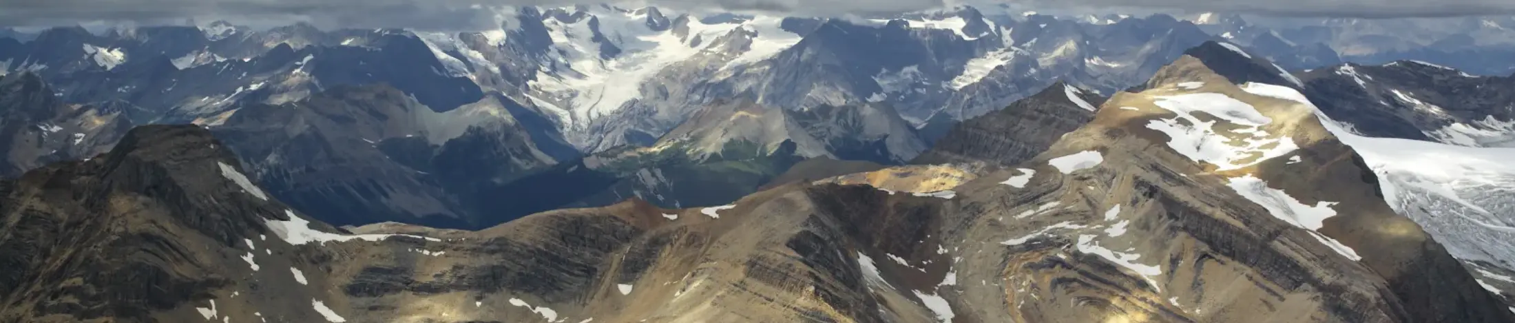
R01
Calgary→Canadian Rockies
Mountain valleys · Alpine lakes · Planned destination stop
FlightApprox. 2 hours6 hours total
The final flight path is planned around terrain, timing, destination suitability and operating conditions rather than a fixed line on a map.
Each journey begins from a different geographic context and moves toward a different combination of scenery and destination time.
Mountain valleys · Alpine lakes · Planned destination stop
Pacific coastline · Howe Sound · Mountain passage
Mountain lakes · Remote valleys · Extended scenic flying
A route is built as one sequence. The outbound scenery, destination stop and return flight are considered together so the day remains balanced from departure to arrival.
See the full expedition schedules →The selected journey sets the departure area and the opening direction of travel.
Mountain, coastline or alpine geography determines the visual character of the flight.
The stop is planned at a suitable location or aerodrome, subject to conditions and permissions.
A different scenic routing may be used where operationally possible.
Weather, visibility, operational requirements, suitable landing locations and permissions may affect the final flight path, timing or destination stop.
Conditions can alter timing, visibility and the practical route for the day.
Stops depend on an appropriate planned location and the conditions that apply to it.
Where permissions are required, the route and stop are coordinated around them.